
By bridging the gap between generative AI and real-world observation data, the new protocol eliminates the need for specialized GIS software or custom API development. Users can now prompt their preferred AI platform to track port traffic, assess wildfire risks, or monitor construction progress. The system handles the technical heavy lifting, including feasibility checks, cloud-cover forecasting, and satellite pass selection, directly within the chat interface.
SkyFi Integrates Satellite Imagery Directly into AI Chatbots
Austin-based Earth intelligence platform SkyFi has launched its Model Context Protocol, allowing users to command satellite imagery and geospatial analytics through AI assistants like ChatGPT and Claude. The integration enables natural language requests to search archives, task new captures, and perform environmental or infrastructure monitoring.
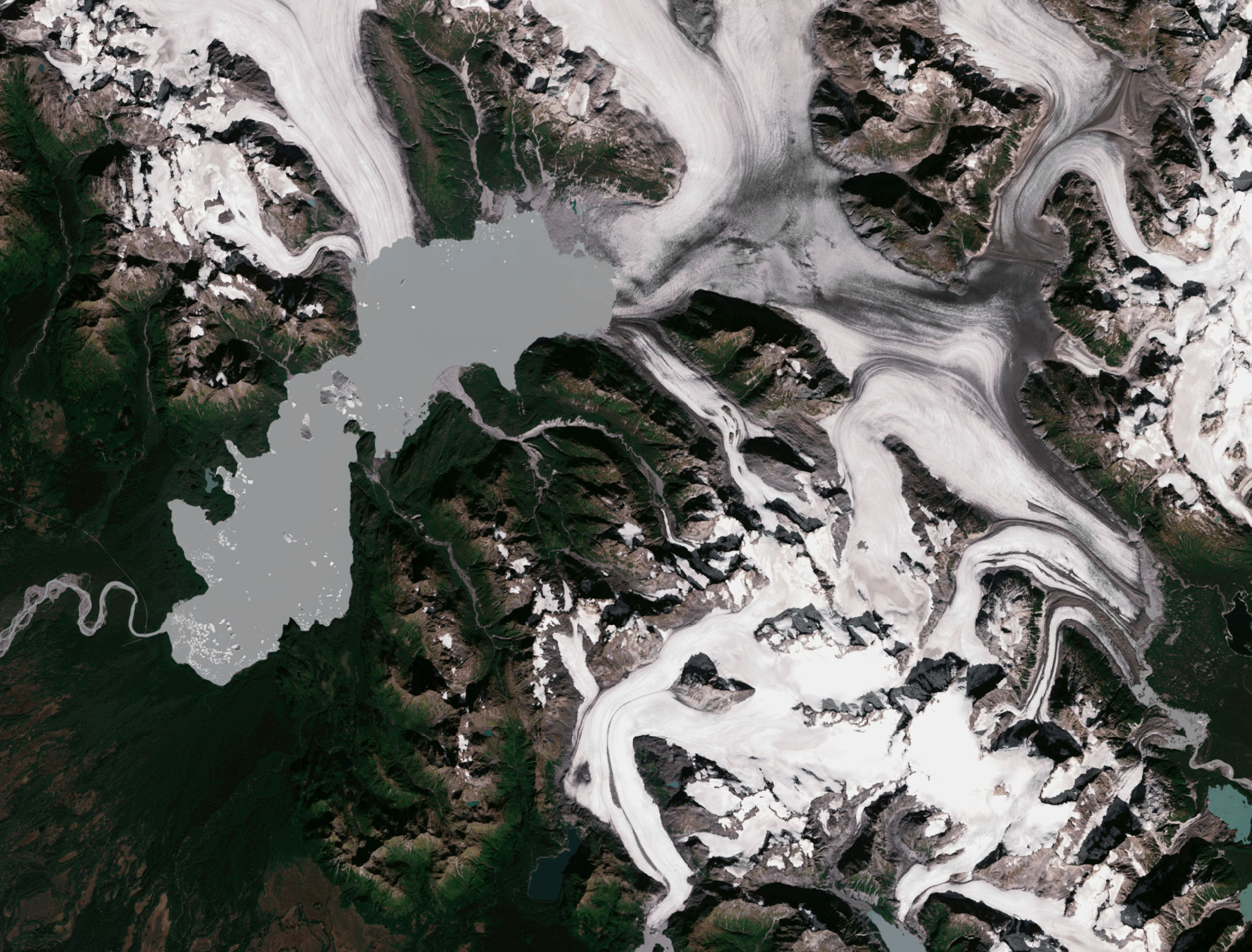
According to CEO Luke Fischer, the goal is to move beyond speculative AI responses by grounding answers in verifiable satellite data. The protocol connects to SkyFi’s ecosystem of over 300 satellite and aerial sources. Once an image is requested, the AI provides pricing and procurement options, allowing users to order data without leaving their current workflow. This tool is available immediately for enterprise and individual users across sectors ranging from defense and mining to finance and environmental research.




Comments (0)
No comments yet. Be the first!